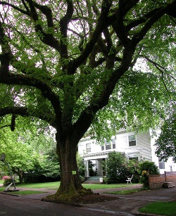
74. Spanish chestnut
Castanea sativa
Please login to add favorites, build your passport and join the discussion.
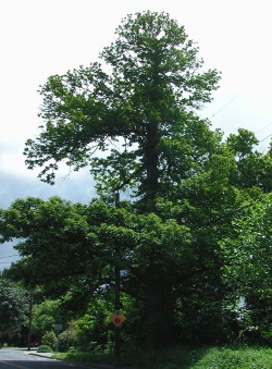
south side between SW 33rd Ave and SW 36th Ave
Address:
3436 SE JOHNSON CREEK BLVD
Satellite 3D View | Street View | Canopy Analytics
On Satellite and Street View, hold Ctrl down and drag the mouse to change perspective.
GPS: 45.462384438171, -122.62713406482
Owner: Private (Public Easement?)
State ID: 1S1E24DC 5201
Year Registered: 1995
Height: 72' | Spread: 61' | Diameter: 56" | Circumference: 16.5'


Comments (0)